Ciudad Sandino, a municipality that contains a memorable historical baggage, possessing a name with the essence of glory and revolution, famous in Nicaragua.
Day by day this city works its development, through the struggle of its inhabitants for the well-being of their family and community.
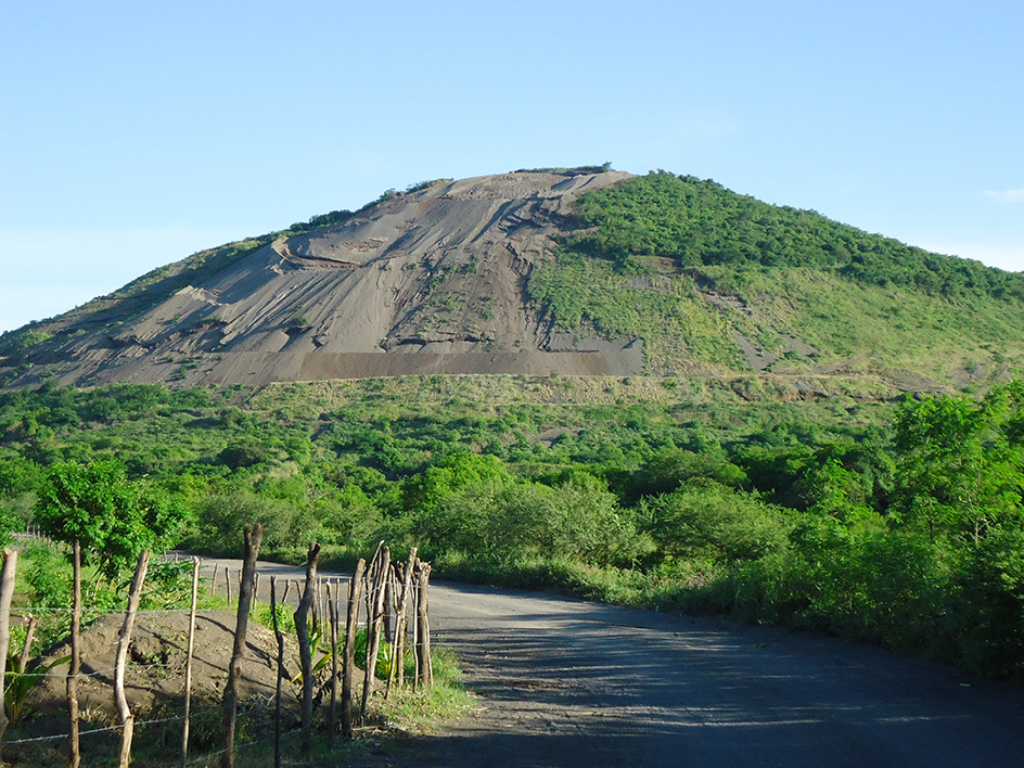
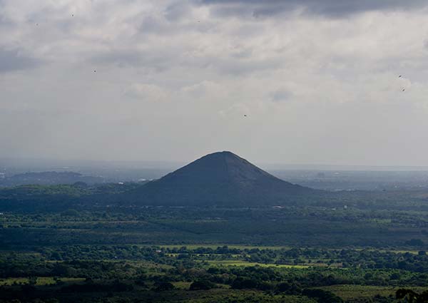
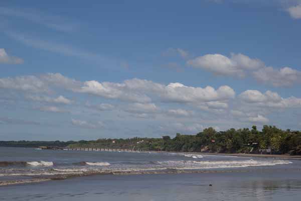
The municipality of Ciudad Sandino is located seven kilometers from the city of Managua. It limits to the north with the municipality of Mateare, to the south with the municipality of Managua, to the east with Lake Xolotlán and to the west with the municipalities of Mateare and Villa El Carmen.
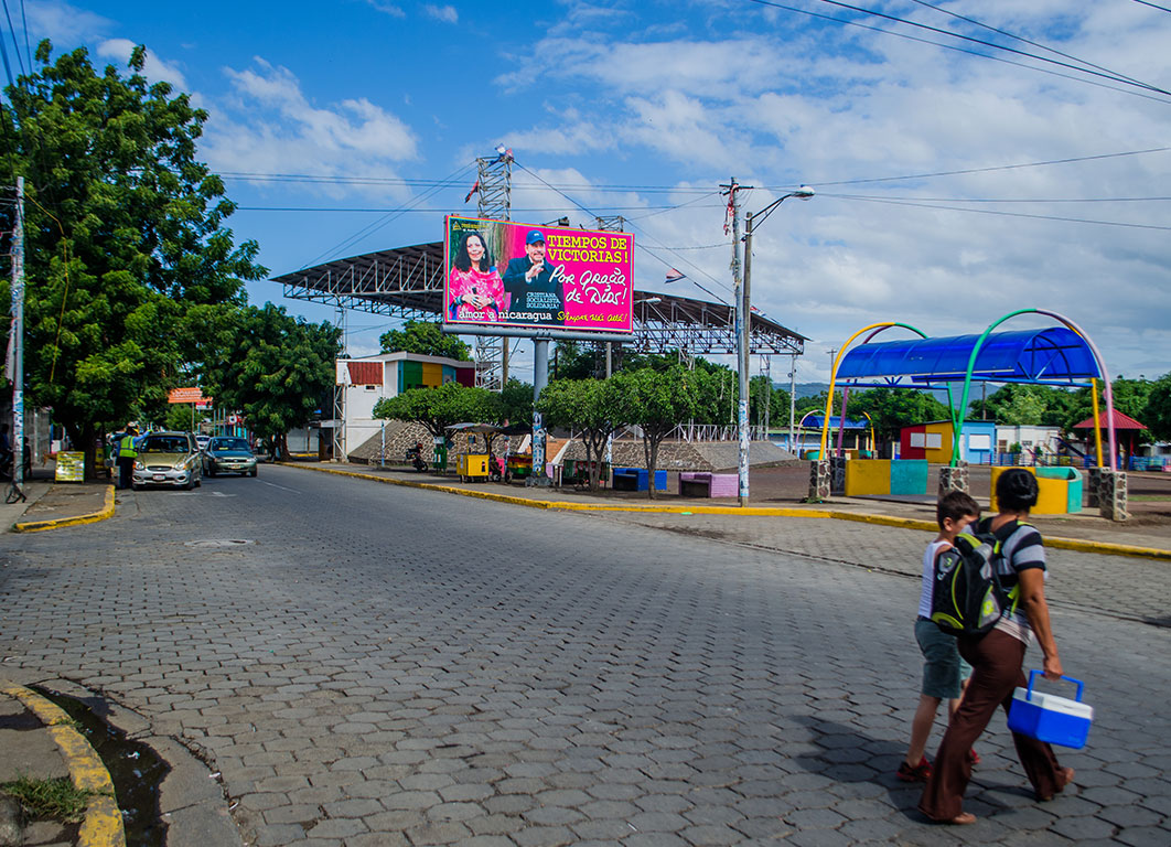
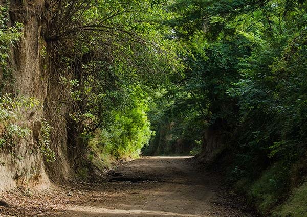
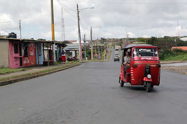
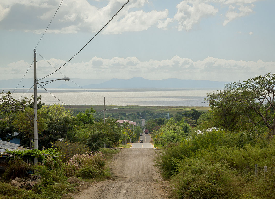
Municipal streets.
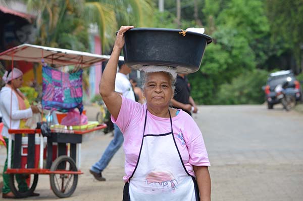
The fundamental economic activity of the municipality is commerce and agriculture.
Demographic data
Territorial expansion |
Altitude |
Location |
|---|---|---|
| 51.11 km2 | 90.00 m asl | 131,573 inhabitants Urban: 125,047 - Rural: 6,526 |
Address
From the capital, the municipality of Ciudad Sandino can be reached through the different buses of collective urban public transport, the routes that cover the municipality are: 113, 125, 133, 172, 115 and 210, the route is made in little more than one time, depending on your destination.
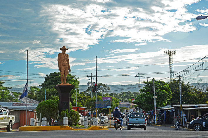
Entrance to the municipality.
You can also get there by private vehicle through the suburban track, the Cuesta El Plomo and the Pan-American Highway if you come from the west.
To get to this municipality there are also taxi services, motorcycle taxis and cycle taxis.